India has given standard names to 27 geographical features and locations in Arunachal Pradesh along the Line of Actual Control, which has generally been seen as India's reaction to the continuous effort made by China to change the names of certain features in Arunachal Pradesh.
The names have been given on Friday, 7th August 2026, and this further strengthens the stance taken by India about its claims over Arunachal Pradesh, which India regards as an integral part of itself.
As per the statement issued by the Union Home Ministry, these names have been finalized by the survey of India with the help of the state government of Arunachal Pradesh. It is to be stated here that the process of identification of these features by giving them names through the survey of the India map is meant to make these features easily identifiable and aware among the general population. These names pertain to 21 land features, four mountain passes, one lake, and one monument in the districts close to the disputed border.
Most of the places on the list belong to newly defined standardized land areas such as Longju, Maja, Bisa, Bara Kundun, Chhota Kundun, Dhan Bari, Pritnagar, Buddhamandir, Jairampur, Teritnagar, Ramnagar, Jaswant Garh, Sagar, Padma, Jyotinagar, Baisakhi, Chhota Ropuk, Bara Ropuk, Shivaji Nagar, Sunpura, and Kamlang Nagar. A number of these places have strategic significance. For example, Longju is a very important place for India because it was allegedly controlled by the Chinese since 1959 but still lies inside the India claim line.
The act of naming of Longju has symbolic value that demonstrates the Indian assertion of sovereignty over the territory. Jairampur serves as an important logistics center of Changlang district; it provides access to the border region of India and helps transfer security personnel from here to the eastern Arunachal and Myanmar borders.
Finally, Jaswant Garh has a memorial related to Indian soldiers.
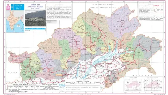
Photo: @Survey of India
The four mountain passes—Dzo La, Riza La, Pukur La, and Thag La—are among the most militaristic and political of all the entries on this list. In this context, mountain passes are not simply geographic phenomena but are crucial chokepoints that dictate the flow of troops and supplies and have been flashpoints in the past of contention between the two countries.
Thag La in particular is significant, as it was one of the locations where fighting broke out between Indian and Chinese troops back in 1962, an incident that continues to affect strategic planning at this border to this day. To name these mountain passes is essentially to claim them on paper and make them part of a strategic framework of control for use during any conflict in the future.
Mountain passes are always fought over since they constitute the easiest way through impenetrable mountains.
The act of naming these passes is in itself symbolic of ownership of these passes and thus control of the territory below them.
The remaining two include Sambho Sarovar, which is a high-altitude lake, and the Sher-e-Thapa Memorial, which is a monument according to Indian definitions. In terms of numbers, these two elements of the 27 features seem to be less than land areas and passes.
Nevertheless, their mention shows that the naming exercise carried out by India included more things than simply naming settlements or fortification positions. The natural landmark and memorial are significant from a symbolic and cultural perspective, thus implying a certain connection with the history and tradition of the region.
After the inclusion into India's official maps and names list, a high-altitude lake such as Sambho Sarovar becomes an inseparable part of the territory, which can hardly be ignored in any narration or classified as something else by anyone.
A war memorial mentioned on official maps means that the land of India is connected with the sacrifice of its army in the past, thus adding emotionality and historical aspects to territorial claims of India.
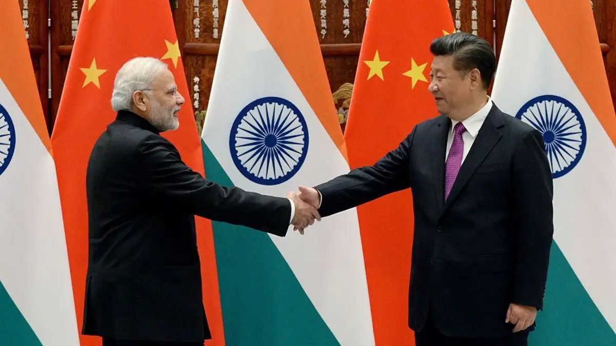
This exercise of renamining did not happen in isolation. China has been issuing its own set of "standardized" names for various places in Arunachal Pradesh, a state that China calls Zangnan, or South Tibet, which is always contested by India.
On April 26, 2026, China's Ministry of Civil Affairs came up with another notification in which it has renamed 23 places, including rivers, mountains, and towns in Arunachal Pradesh. The Ministry of External Affairs of India strongly protested this move by China.
Earlier, MEA spokesperson Randhir Jaiswal had objected to the "mischievous attempts by the Chinese side to assign fictitious names to places which form part of the territory of India."
This move by India to rename the 27 places in Arunachal Pradesh comes in continuation with the trend that has been going on since 2017, when China started renaming some six places in the state in response to a visit of the Dalai Lama to India.
The process of the naming has had a fairly predictable pattern for the past years. The process has seen China announce names of Sinicized or Tibetan names for various places that are being administered by India, claiming that the process is a legitimate sovereign act within their own territory. On the other hand, India refuses to accept the naming process stating that it is baseless.
They add that a change in the name cannot have any bearing on the legal and administrative reality of the land, which is always being administered as part of India. In previous cases, China has renamed 15 places in one instance and 27 in the other.
These places included various mountains, rivers, residential zones and passes. However, the Ministry of External Affairs of India had repeatedly rejected these acts, claiming that it was China that had been constructing the wrong narrative and not the other way round.
However, in the case of the announcement of August 2026, India has gone a step further from mere denial to matching actions of naming certain lands.