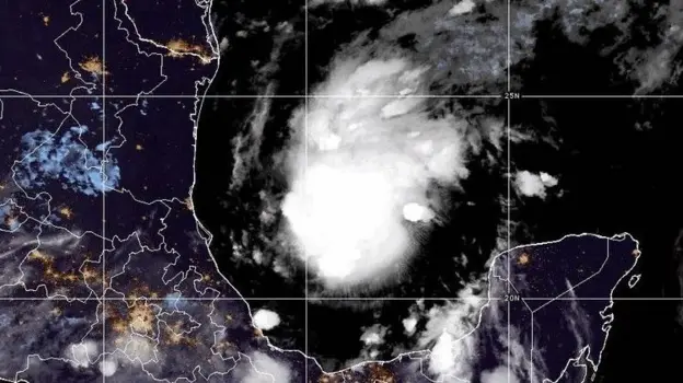
Isaias hit the shore on the night of Friday, October 9, near Destin, Florida Panhandle.
The storm made landfall around 8:30 p.m. CT, with winds of 105 miles per hour, classified as a Category 2 hurricane by the National Hurricane Center, bringing a 5-foot storm surge.
At 8 p.m. in its advisory, the NHC gave the wind speed as 110 miles per hour. In some cases, predictions showed that the hurricane could reach Category 3 even before making landfall.
The storm weakened quickly after moving on to land.
By the time it made its way north in the western Panhandle, it had weakened into a Category 1 hurricane, with maximum wind speeds of 90 mph. The National Hurricane Center already classified the storm as a post-tropical cyclone by early Saturday.
A post-tropical cyclone lacks the structure of a tropical storm but still has the capacity to create hazardous conditions, which Isaias does.
There have been at least two deaths caused by the storm, and both resulted from falling trees.
There was a report of one person dead in Florida’s Escambia County after Isaias hit land. The second death was reported by CNN to have occurred inside a house in Alabama.
FOX Weather described the second death as confirmed to have occurred in the Florida Panhandle. This is debatable, as reports are conflicting.
Initially, there were no confirmed deaths in Florida, according to reports by the government officials. Governor Ron DeSantis appeared on Fox News, where he stated that pre-deployed search and rescue teams had not been required even after the hurricane made landfall.
This, he considered, was a cautiously good sign.
However, this situation changed dramatically after confirming death in Escambia County.
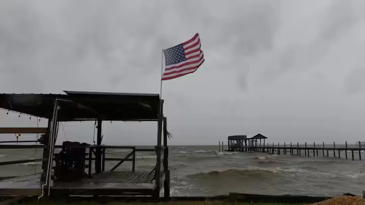
Pictures from the region depict the fury of the storm.
ABC News posted pictures of an uprooted tree near a house with a roof that is torn in Milton, Florida. Other pictures show vehicles moving on a flooded street in Navarre.
Before the arrival of the storm, evacuation orders were issued in parts of the Florida Panhandle and neighboring Alabama.
Weakened Isaias continues to pose risks, according to forecasters.
FOX Weather said the post-tropical storm is still generating the threat of a deadly flood and tornado threat in the Southeast region. Tornado watches were issued for much of the Panhandle and Big Bend regions on Friday night.
ABC News said that flash and urban flooding are possible in the impacted region. WFTV said high winds above 50 mph, heavy rain, lightning, and hail are among the greatest threats.
Isaias is the first hurricane to make landfall in the United States since Milton, which made landfall south of Tampa as a Category 3 hurricane two years ago.
The hurricane also arrived late during an inactive season. In fact, according to coverage by Accuweather, Isaias was described as becoming the first hurricane of the year for the Atlantic region prior to making landfall in the United States.
Earlier this month, Yale Climate Connections had cautioned about increased chances of a Gulf Coast hurricane.
The Isaias name is an old one. In 2020, there was already a storm by that name that struck the US East Coast and spawned tornadoes that killed at least four individuals.
This current Isaias storm is a completely different one from the previous one. This storm originated from the Gulf of Mexico.
Isaias is making its way deeper into the interior of the Southeast, causing heavy rains and tornadoes.
People are advised to be careful since fatalities were reported because of floods and fallen trees.
It will take some time before damage reports from the Panhandle are given out.
There are no estimates on the amount of damages and homes that have been affected by Isaias so far.