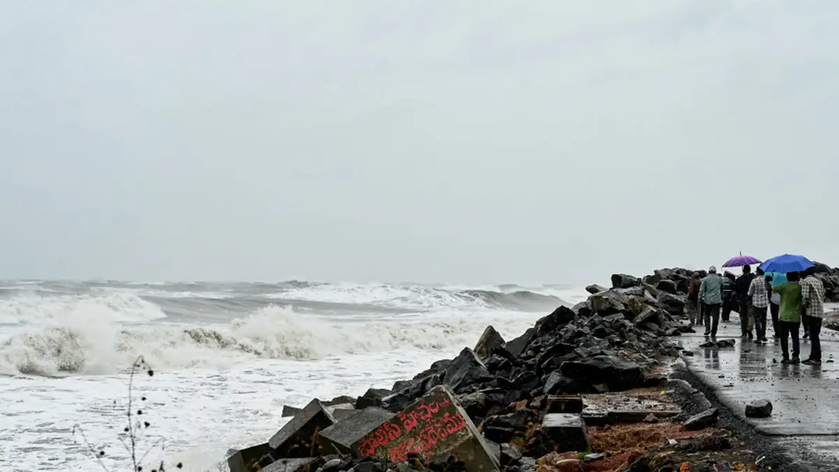
Cyclone Murasu has developed into a severe cyclonic storm in the west-central and adjoining southwest Bay of Bengal. As per the forecast by India Meteorological Department (IMD), the cyclone will move northwestwards and make landfall on the coast of south Andhra Pradesh between Nellore and Narsapur on the night of November 2 and early hours of November 3, 2026.
The cyclone has become a cause for concern in coastal Andhra Pradesh, northern Tamil Nadu and some areas of Odisha.
It formed from the deep depression in the southwest Bay of Bengal, which intensified into a cyclonic storm on November 1 and progressed into a severe cyclonic storm by the early hours of November 2.
As per the bulletin of IMD issued on November 2, the storm was moving northwest at about 20 kmph. As of 2:30 a.m. of November 2, its center was situated around 13.6°N 82.5°E.
The cyclone was about 290 km east-southeast of Nellore and 260 km east-northeast of Chennai.
Cyclone Murasu is expected to make landfall between Nellore and Narsapur, in the vicinity of Ongole in the south Andhra Pradesh coast, as per the forecast of IMD.
At the time of landfall, wind speed could be around 100 to 110 kmph with gusts of 120 kmph. Strong winds may cause damage to poorly constructed buildings and uproot the trees and power lines and disrupt transport and power supply.
The storm will gradually weaken after making the landfall.
There are many areas that are likely to receive heavy rains due to Cyclone Murasu.
● Coastal Andhra Pradesh: Heavy to very heavy rainfalls; extremely heavy rains at isolated places on November 2 and 3.
● Tamil Nadu: Heavy to very heavy rainfalls at isolated places especially on November 2 and 3.
● South Odisha: Heavy rainfalls; they could increase on November 3 and 4.
● Rayalaseema: Heavy to very heavy rainfalls at isolated places.
● Telangana: Heavy rainfalls at isolated places; extremely heavy rainfalls in some areas on November 3.
These factors can lead to water logging, flash floods and disruption of normal activities
One of the main threats posed by Cyclone Murasu is the occurrence of storm surges in the south Andhra Pradesh coastal area.
The Indian Meteorological Department has predicted the occurrence of a storm surge of about 1.0 – 1.5 meters above the astronomical tide in low-lying coastal areas during landfall.
Maximum storm surge will be observed in the Bapatla, Krishna and Prakasam districts.
Preparedness plans for managing the potential threat of the cyclone are underway by authorities of the states of Andhra Pradesh and Odisha.
In Andhra Pradesh, instructions have been issued to remain prepared for conducting rescue and relief operations. All emergency services are being mobilized at high-risk locations.
In Odisha too, efforts have been concentrated on making arrangements for evacuation of people from vulnerable regions. NDRF teams have been kept on stand-by for helping people.
All fishing and shipping activities in the affected coasts have been suspended or curtailed as per the warning issued by the meteorological department.
Owing to the risk of high winds and floods, people residing in such areas must observe the following safety measures:
● Remain Inside: Do not venture out unnecessarily and stay inside secure structures.
● Heed Official Warnings: Remain updated regarding warnings issued by the IMD and other local disaster management agencies.
● Stay Away from Coastal Areas: Refrain from going near the seashore or areas near the coast.
● Stock Up on Emergency Items: Keep stock of drinking water, food, medications, lighters and important papers.
● Shut Down Electrical Appliances: Switch off all electrical appliances and do not touch any loose wires.
● Do Not Go to Flooded Places: Stay clear of flooded areas.
Fishermen have also been told to refrain from going to the areas which have been affected by the cyclone in the Bay of Bengal and its adjacent coastal regions.
The cyclone Murasu has now emerged as a serious storm threat for the eastern coast of India, especially for the state of Andhra Pradesh, with winds blowing at a speed of 100–110 kmph and rainfall in various states predicted.
As per the landfall prediction of the cyclone in the period between Nellore and Narsapur on November 3, the next few hours assume great importance.